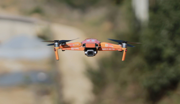
The second phase of field work by the Cartography and Technologies technical subgroup has recently begun, as part of the process of changing the Political-Administrative Division (DPA) underway in the country, where drones are being used to create the cartographic base as well as visual reference for defining limits and imaginary lines.
The work is being done by technicians from the National Space Program Management Office (GGPEN), which support the preparation of drones used for imaging areas of interest, georeferencing maps and image processing, which will then be processed and prepared by specialists to be used by cartography technicians as a cartographic base.
BUT: Satellite images help validate the new national Political-Administrative Division
It should be noted that in addition to GGPEN technicians, the team is also made up of members from the Ministry of Territorial Administration (MAT), Angolan Geographical and Cadastral Institute (IGCA), National Institute of Territorial Planning and Urban Development (INOTU), Ministry of the Interior and Ministry of Defence, traveled to the provinces of Malanje, Lunda Norte and Uíge to intervene on the imaginary lines in the intermunicipal and interprovincial limits.
These imaginary lines are limits not materialized by physical elements on the ground, such as rivers, roads, geodesic landmarks or curtains of trees. The existence of these lines in the intermunicipal limits causes confusion about the belonging of territories located in the bordering areas, causing a municipal administration to administer portions of territory belonging to others.